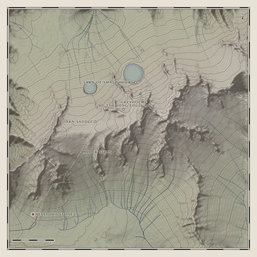
An engraved plan of the imaginary Vell Traverse, with its contours, streams and walking trail

Surveying Plate I

Heldway

An atlas of the long way round

Plate IVell Massif

The Vell Traverse

A granite spine, walked end to end, from a valley of moss to a tarn that keeps the evening.

Distance
—
Ascent
—
High point
—
Walking
—

Vellfoot StonesThe walk begins where the valley stops being flat.

Notes to the plates

Not a map of anywhere

Heldway is an atlas of places that do not exist. Each plate is grown in your browser from a fixed seed: noise folded into ridges and valleys, then worn down by a hundred thousand or more simulated raindrops that cut gullies and leave silt in the hollows. Water gathers only where the ground can hold it. The trail is routed by a patient search that dislikes steep ground, which is why it sometimes zigzags.

Distances, heights and walking times are measured honestly on that invented ground. They describe nothing real. Please do not navigate by them.

Walking a plate

  • Drag the profile or drag across the land to move along the trail. A quick flick keeps you walking for a moment.
  • Tap the plan near the route to jump there.
  • With the profile focused: ← → move 100 m, Shift moves 1 km, Page Up / Page Down jump between named places, Home / End go to either end.
  • Walker’s eye lowers the camera onto the path. Motion controls drifting cloud, camera flights and the rising land; it starts off if your system asks for reduced motion. Sound is a generated field recording and starts off.

Legend

  • Index contour
  • Contour
  • Stream
  • Water-lines
  • Trail walked
  • Trail ahead
  • Named place
  • Walker

Heldway · Plates I–III · Terrain, names and words invented for this atlas · Relief drawn live with WebGL